World map by year
The world in 8,000 BCE
Farming has begun in the Fertile Crescent and the first villages such as Jericho have appeared, but most of the world still lives by hunting and gathering.
14 named peoples and states on the map
largest: Bantu
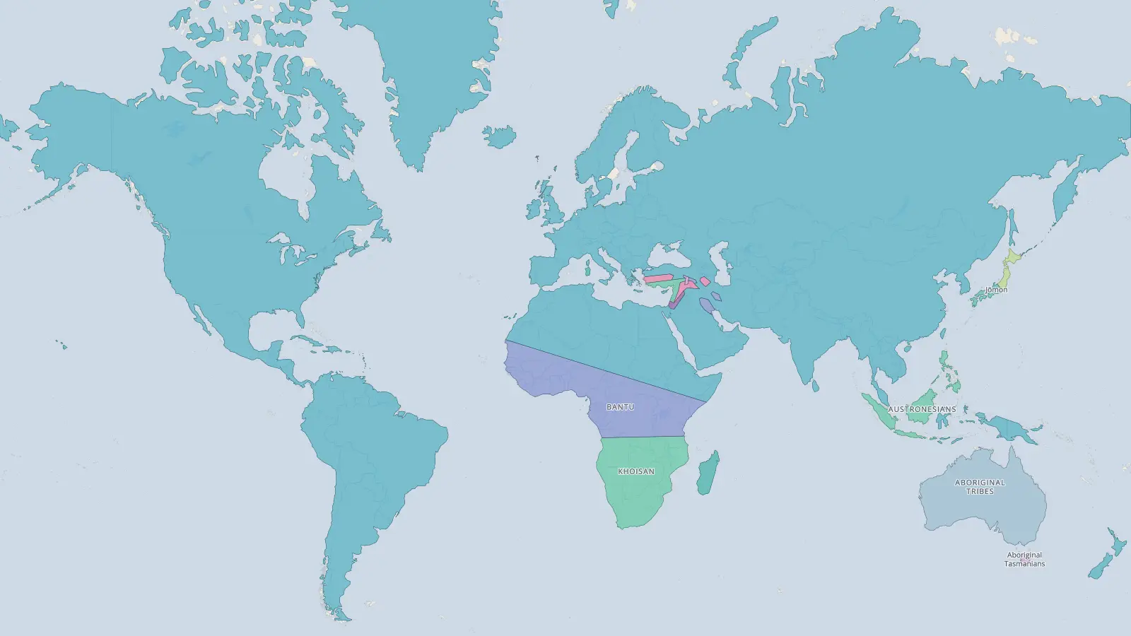
Explore 8,000 BCE full screen
Click any border for its story, and drag the timeline to watch the map change in the years before and after 8,000 BCE.
The largest peoples and states in 8,000 BCE
top 10- 1Bantu10,189,201 km²
- 2Aboriginal tribes7,602,310 km²
- 3Khoisan6,356,437 km²
- 4Austronesians1,513,067 km²
- 5Hunters-gatherers600,890 km²
- 6Steppe Mesolithic Hunter-Foragers295,383 km²
- 7Coastal and Woodland Mesolithic Hunter-Foragers218,217 km²
- 8Okhotsk culture185,107 km²
- 9Jōmon173,221 km²
- 10Alluvial Lowland Mesolithic Hunter-Foragers117,425 km²
Measured on the sphere from the borders drawn on this year’s map, including colonies and dependencies shown as part of a state. Before about 800 BCE the map shows mostly peoples and cultures rather than states.
Questions
- What did the world look like in 8,000 BCE?
- Farming has begun in the Fertile Crescent and the first villages such as Jericho have appeared, but most of the world still lives by hunting and gathering.
- What were the largest peoples and states in 8,000 BCE?
- On this map, the largest area belongs to Bantu, covering about 10.2 million km², followed by Aboriginal tribes, Khoisan, Austronesians.
- How many countries were there in the world in 8,000 BCE?
- The 8,000 BCE map of the world shows 14 named peoples and states. The count depends on how finely a map divides the world, so maps from different sources give different numbers, and borders in early periods are approximate.
Borders from historical-basemaps by André Ourednik, with our own corrections. Borders in early periods are approximate.