Borders over time
Watch the borders move
Every year from 2000 BCE to today, drawn on its own map. Pick a region and watch empires grow, split and vanish, from the first kingdoms to the present day.
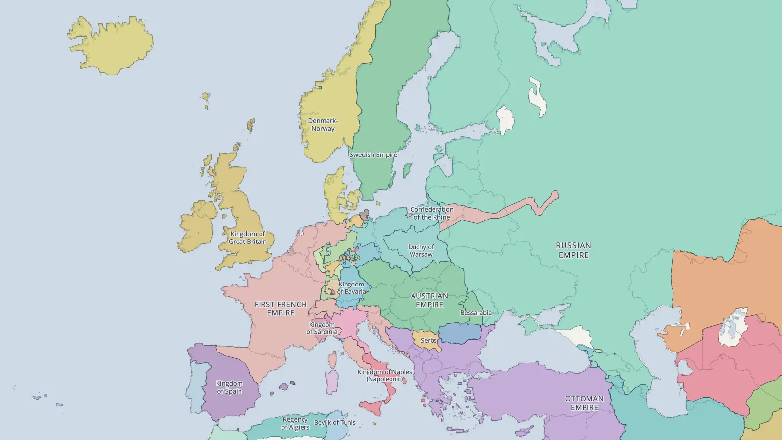
Europe
2000 BCE to 2024 · every year · borders change in 498
Bronze Age kingdoms, Greek city-states, Rome’s rise and fall, the medieval kingdoms, Napoleon, two world wars and the end of the Soviet Union: four thousand years of Europe’s borders, one year at a time.
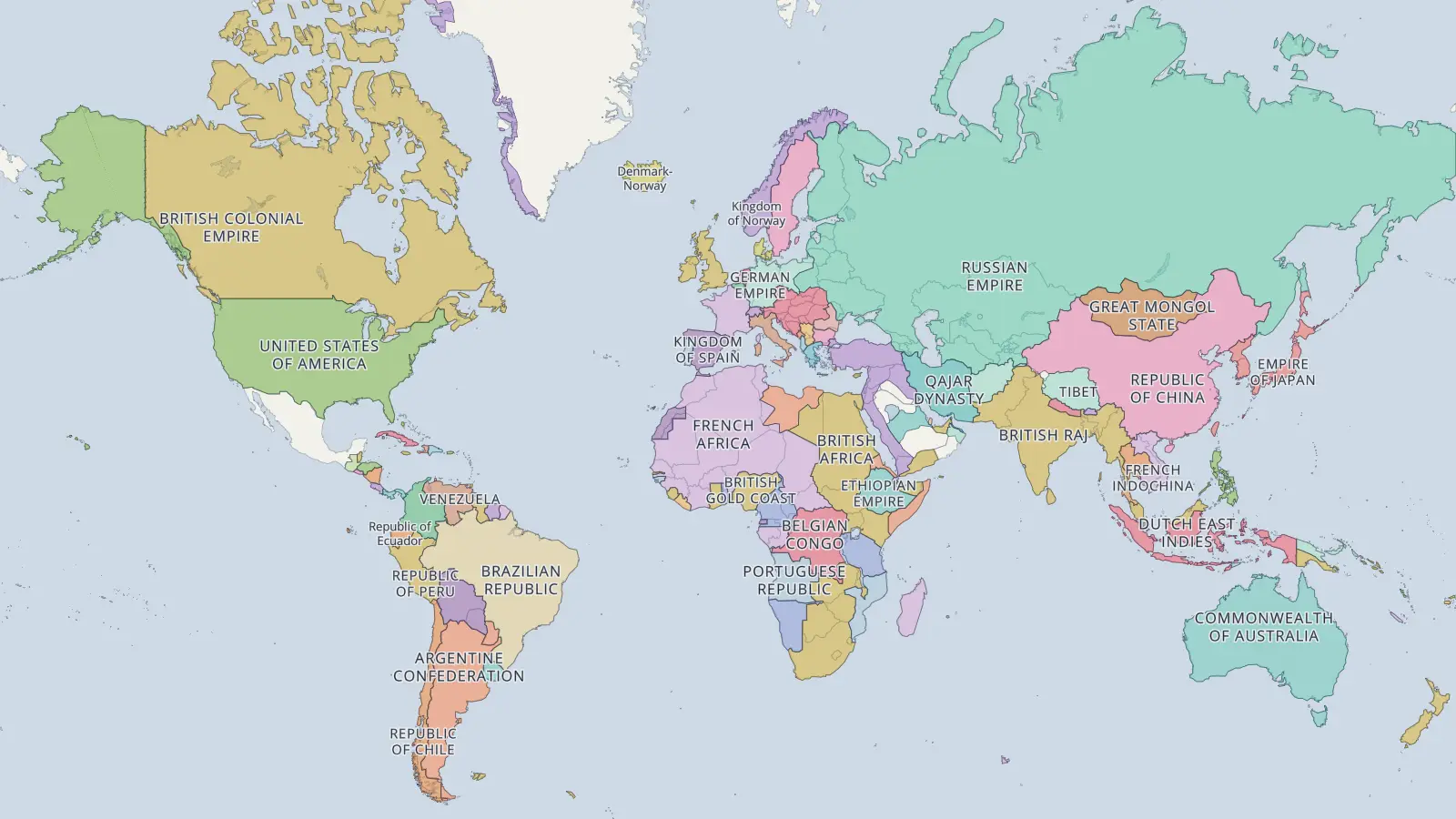
The world
2000 BCE to 2024 · every year · borders change in 498
Four thousand years of states and empires across the whole planet, from Egypt’s Middle Kingdom and the cities of Mesopotamia to a world divided almost entirely into nation-states.
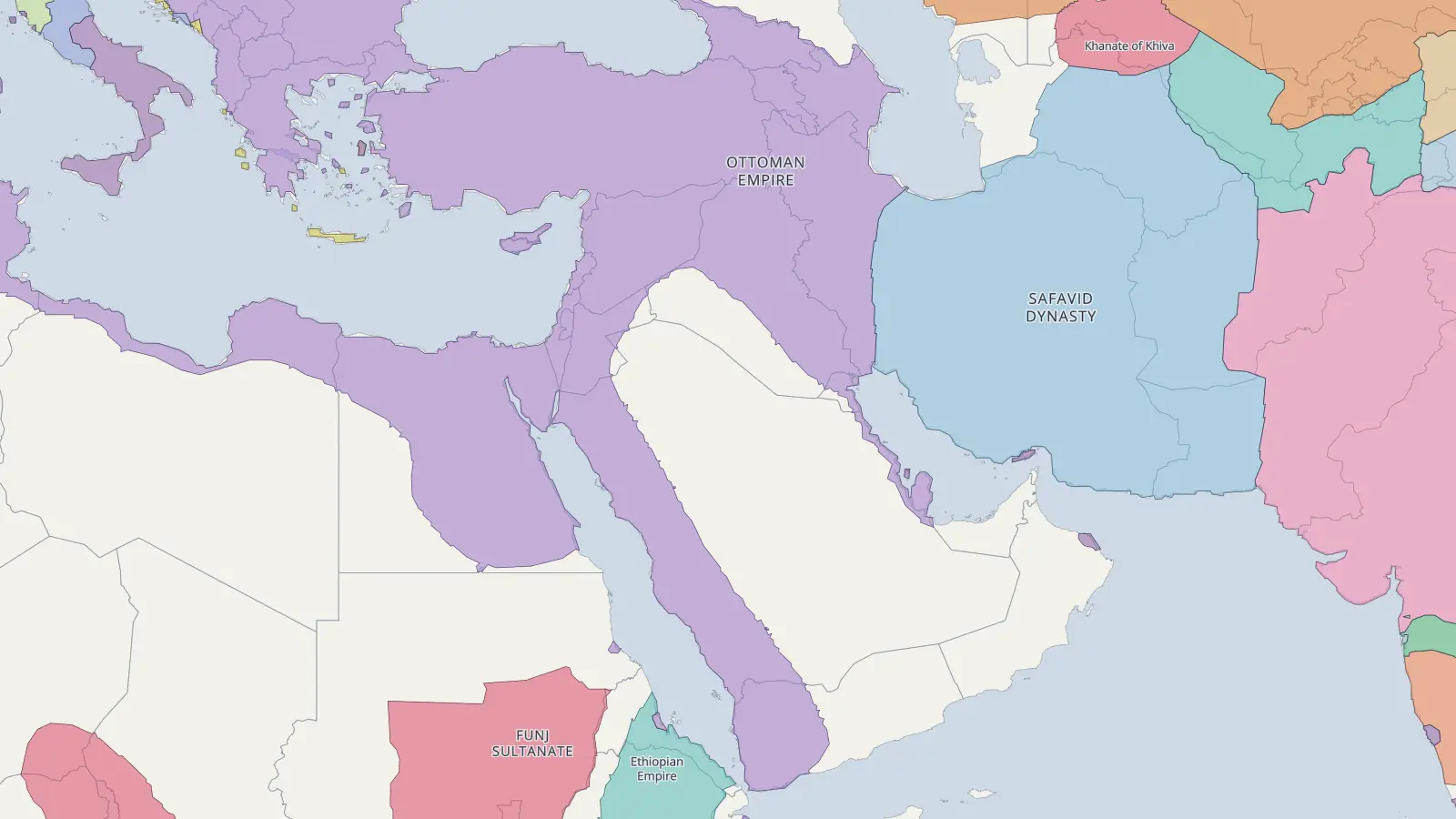
The Middle East
2000 BCE to 2024 · every year · borders change in 479
Babylon, Assyria and Persia, Alexander and his successors, the caliphates, the Ottomans and the modern states drawn after the First World War.
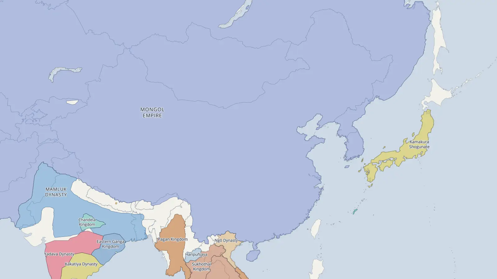
East Asia
2000 BCE to 2024 · every year · borders change in 465
China’s dynasties expanding and splitting apart, the Mongol conquests, Korea and Japan, the Qing Empire and the borders of the 20th century.
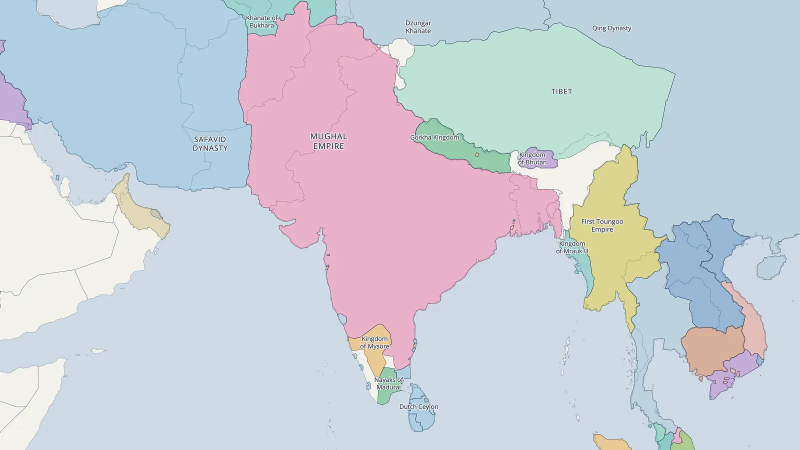
South Asia
2000 BCE to 2024 · every year · borders change in 442
The Maurya and Gupta empires, the Delhi Sultanate, the Mughals, British rule and the partition of 1947.
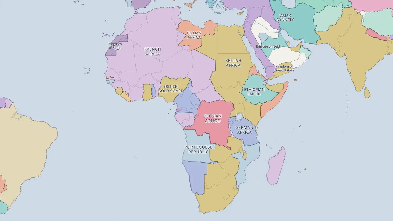
Africa
2000 BCE to 2024 · every year · borders change in 490
Carthage and Kush, Aksum, the Sahel empires of Ghana, Mali and Songhai, the European scramble for Africa and independence in the 20th century.
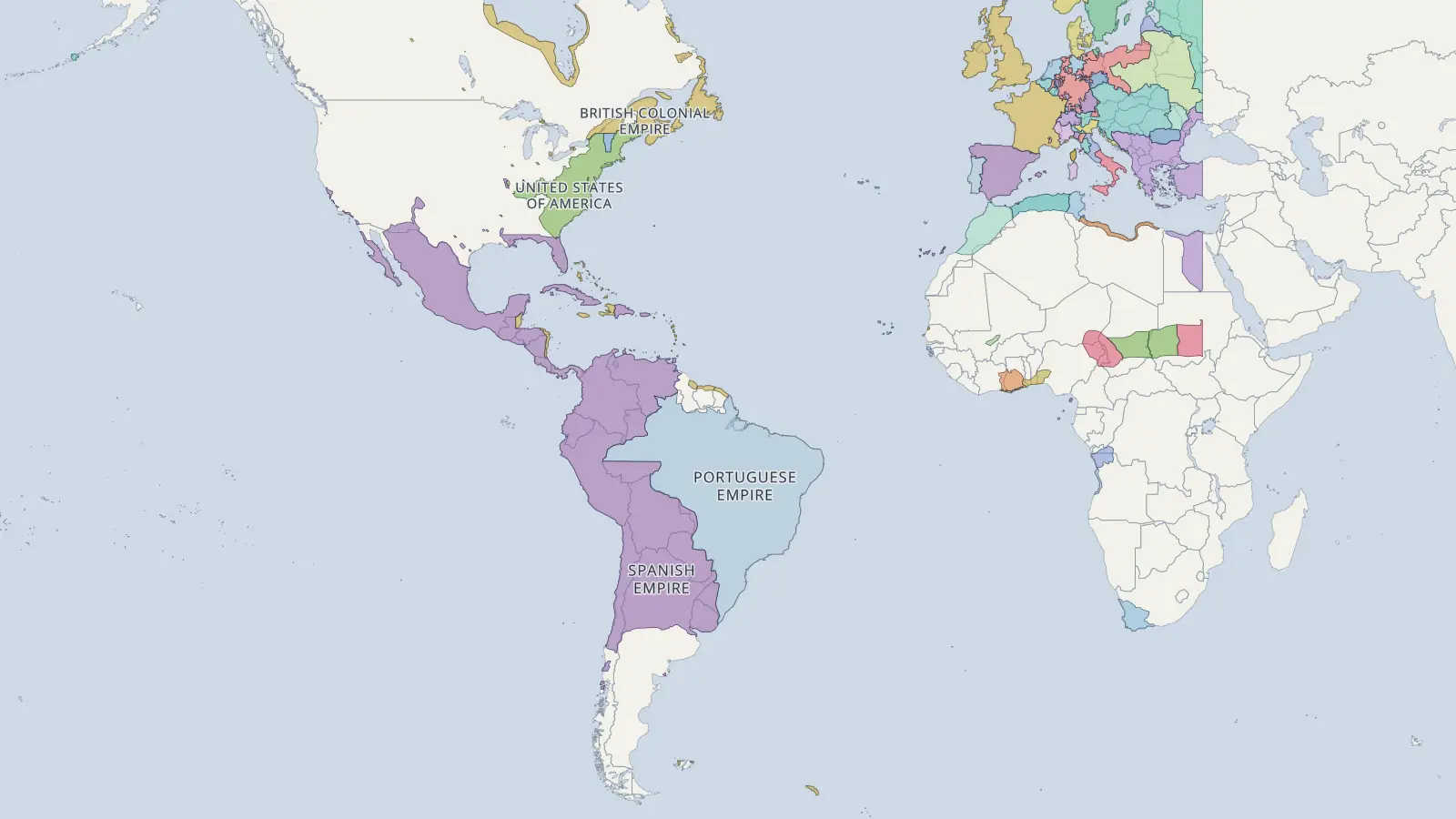
The Americas
700 BCE to 2024 · every year · borders change in 232
The Aztec and Inca empires, the Spanish, Portuguese, French and British colonies, independence across two continents and the growth of the United States.