World map by year
The world in 1800
Napoleon rules France, Britain is conquering India, and Spain and Portugal still hold almost all of Latin America.
525 named states on the map
largest: Russian Empire
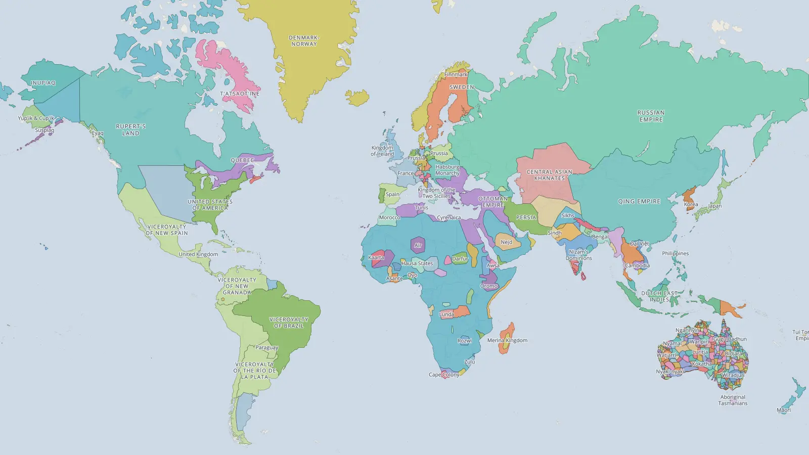
Explore 1800 full screen
Click any border for its story, and drag the timeline to watch the map change in the years before and after 1800.
The largest states in 1800
top 10- 1Russian Empire16,349,900 km²
- 2Qing Empire12,202,395 km²
- 3Spain10,924,902 km²
- 4Portugal8,196,437 km²
- 5Rupert's Land7,898,780 km²
- 6France4,660,492 km²
- 7Ottoman Empire3,743,842 km²
- 8Denmark-Norway2,579,493 km²
- 9Viceroyalty of the Río de la Plata2,355,855 km²
- 10United States of America2,298,855 km²
Measured on the sphere from the borders drawn on this year’s map, including colonies and dependencies shown as part of a state.
Watch these years move
Questions
- What did the world look like in 1800?
- Napoleon rules France, Britain is conquering India, and Spain and Portugal still hold almost all of Latin America.
- What was the largest empire in 1800?
- On this map, the largest state is Russian Empire, covering about 16.3 million km², followed by Qing Empire, Spain, Portugal.
- How many countries were there in the world in 1800?
- The 1800 map of the world shows 525 named states. The count depends on how finely a map divides the world, so maps from different sources give different numbers, and borders in early periods are approximate.
Every year on one page →Europe in 1800 →East Asia in 1800 →South Asia in 1800 →Africa in 1800 →
Borders from historical-basemaps by André Ourednik, with our own corrections. Borders in early periods are approximate.